Infrastructure Inspection
Conduct safe and efficient inspections.
CONDUCT SAFE AND EFFICIENT INSPECTIONS
Contact UsHow Drones Facilitate Inspection Projects

Improved Efficiency
Increase the efficiency of your geographic information collection and streamline data processing using drone solutions

Reduced Costs
Save on equipment and labor costs by automating data collection and analysis with drone and software solutions
Standardized Deliverables
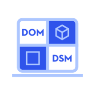
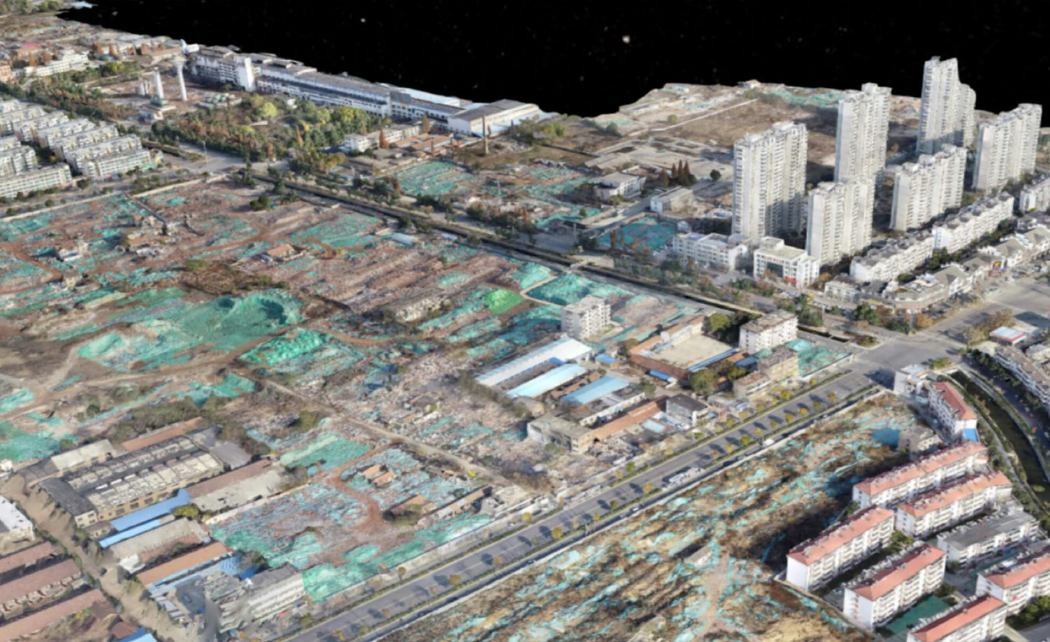
Gain accurate aerial data to create industry-standard deliverables like DSM, DOM, and 3D models with drone and software solutions
Industry Leading Products
Regardless of the task at hand, Cloud City Drones provides a complete lineup of the highest rated industry tools to help get the job done.

MATRICE 350 RTK
The Matrice 350 RTK is a DJI commercial drone platform that takes inspiration from modern aviation systems. Offering up to 55 minutes of flight time, advanced AI capabilities, 6 Directional Sensing & Positioning, and more, the M350 RTK sets a whole new standard by combining intelligence with high-performance and unrivaled reliability.

MATRICE 30 SERIES
The Matrice 30 Series is a line of DJI portable drones that can integrate multiple sensors into one camera payload. It includes two models: Matrice 30 (M30) and Matrice 30T (M30T). The M30T has a thermal camera and a laser rangefinder sensor, while the M30 does not. Both models have a foldable design and an IP55 ingress protection.

MAVIC 3 ENTERPRISE SERIES
The Mavic 3 Enterprise Series redefines industry standards for small commercial drones. With a mechanical shutter, a 56× zoom camera, and an RTK module for centimeter-level precision, the Mavic 3E brings mapping and mission efficiency to new heights. A thermal version is available for firefighting, search and rescue, inspection, and night operations.

Zenmuse H30 Series
A powerful, integrated payload that unleashes advanced intelligent capabilities for DJI’s industrial drone platforms.

Zenmuse L2
The Zenmuse L2 integrates a Livox Lidar module, a high-accuracy IMU, and a camera with a 1-inch CMOS on a 3-axis stabilized gimbal.
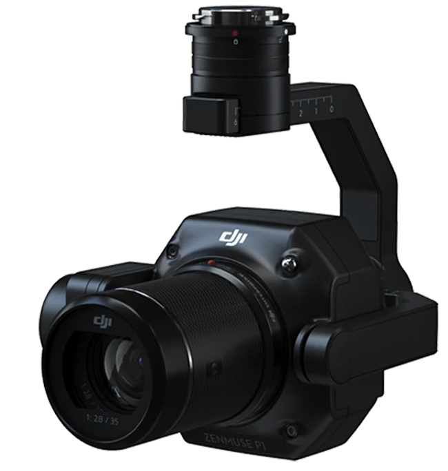
Zenmuse P1
Verify data quality immediately post-flight by checking the position data and number of the images acquired, as well as RTK status and positioning accuracy.

Applications

Oil & Gas
Protect workers from hazardous sites and materials while quickly addressing asset issues. Keep operations running while critical inspections are conducted using a variety of cameras and sensors. Help monitor and manage long pipelines spread across different geographies, identifying leakages or anomalies quickly
- Rapidly and remotely inspect, map, and monitor facilities such as flare stacks and cooling towers from the ground without stopping operations. Identify leakages quickly and accurately using drones equipped with specialized sensors, keeping personnel safe and enabling timely decision making.

Electricity
Manage Electrical Grids and Plants with drone Solutions and Monitor Construction, Conduct Inspections and perform Maintenance with Ease. Deliver detailed and accurate data on all parts of the grid, automating inspection, enabling timely repairs, and reducing downtime.
- Quickly map power line corridors, creating accurate 2D and 3D models that measure the distance between vegetation and power lines, helping to maintain a safe clearance distance. Conduct frequent, on-demand inspections to monitor the safety, reliability, and integrity of the power grid, improving efficiency and eliminating risks. Capture the status of the asset from multiple angles using drones to reveal any faults or defects and address them in a timely manner.
AEC
Create 3D models with accurate positioning data that can be readily fitted into the BIM models to visualize designs. Designs can be optimized using drone-created 3D models that are compatible with a variety of GIS software.
- BIM designs can be quite different from the reality model, making it difficult to visualize and verify the design. Drones can map large work sites to acquire detailed, precise data. 2D maps and 3D models help teams optimize project planning and designs. Obtain accurate volume measurements of stockpiles and construction aggregates using 3D models built with aerial images.