Battle of the Drones: Is the DJI M30T Capable of Mapping?
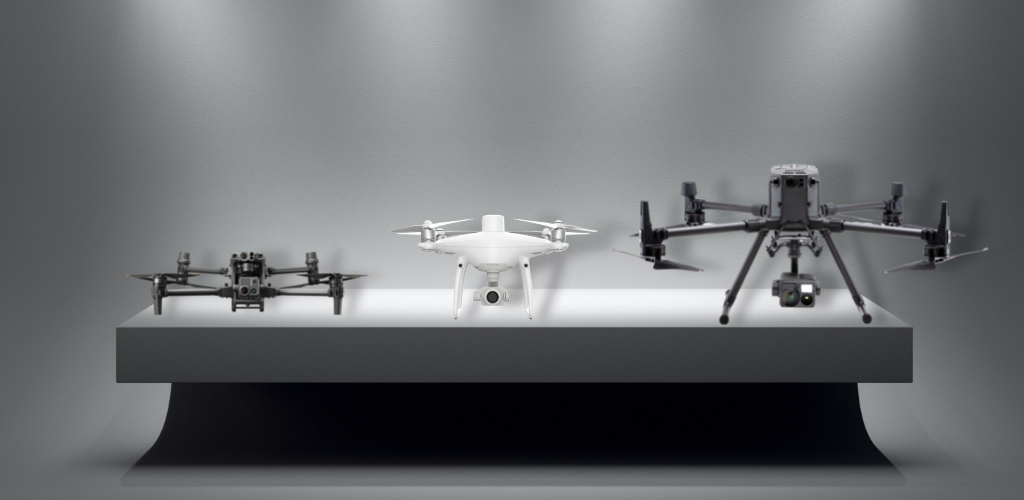
Over the past few weeks, we have tested the newly released DJI M30T, Phantom 4 RTK, and Matrice 300 equipped with a Zenmuse P1, in an effort to find answers to some of our most commonly asked questions.
In order to ensure that these tests were performed both accurately, and with precision data, we teamed up with GIS & Mapping experts Steven McCandless of the Town of Charleston Rhode Island & Jamie Sardelli of Sardelli Survey LLC.
Diving right in the first of the tests performed was done in a bright environment in which an ortho was generated using flight data from an altitude of 120' ft.

The second test was performed in a lowlight situation at the same height.

Based on the results, its pretty easy to determine which aircraft offers the best solution for ortho mapping. The Matrice 300 RTK is the clear winner, followed up by the Phantom 4 RTK, and in last place the Matrice 30T.
When asked about using the Matrice 30T Jamie said:
"The ability to see a little better in the shadows doesn't account for needing to fly lower for adequate pixel quality. Having better redundancy and safety is nice, but this is literally the lowest I'll ever fly (100'- 120')... so if we're not getting better than 1" RMS I can't justify for surveying, even at class 3 in my opinion."
We have also included the results of each test after being run through Pix4Dmapper.
Matrice 300 RTK Results
Phantom 4 RTK Results
Matrice 30T Results
Let us know what you want to see next!
Leave a comment